Colorado Springs Real Estate Aerial Photography - Legal Concerns

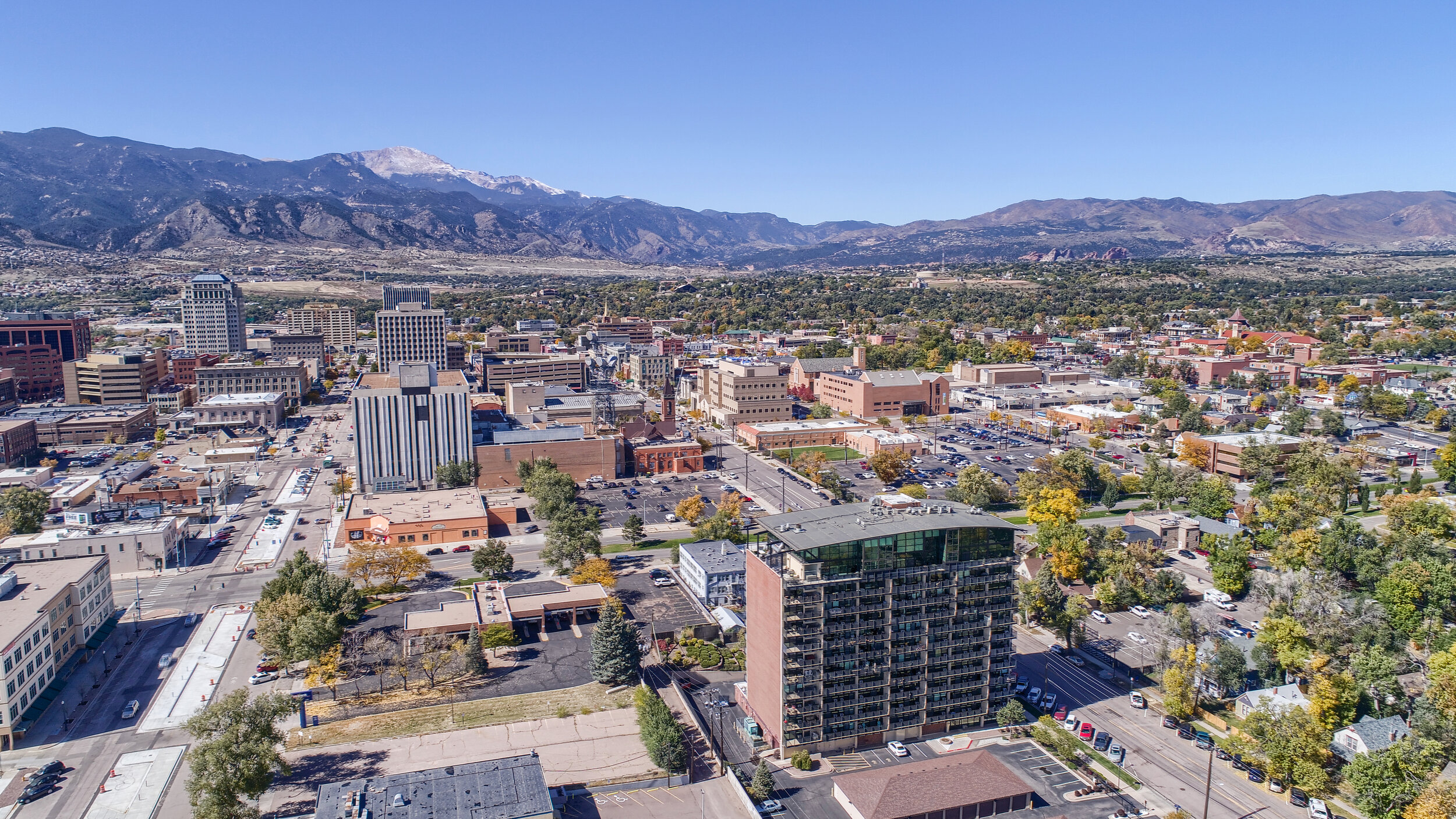
Colorado Springs - Downtown Aerial Photo
“As of today, more than 100,000 enthusiasts have obtained a Remote Pilot Certificate to fly a drone for commercial and recreational (not qualifying as “model aircraft”) use since the Federal Aviation Administration’s (FAA) small drone rule went into effect on August 29, 2016.”
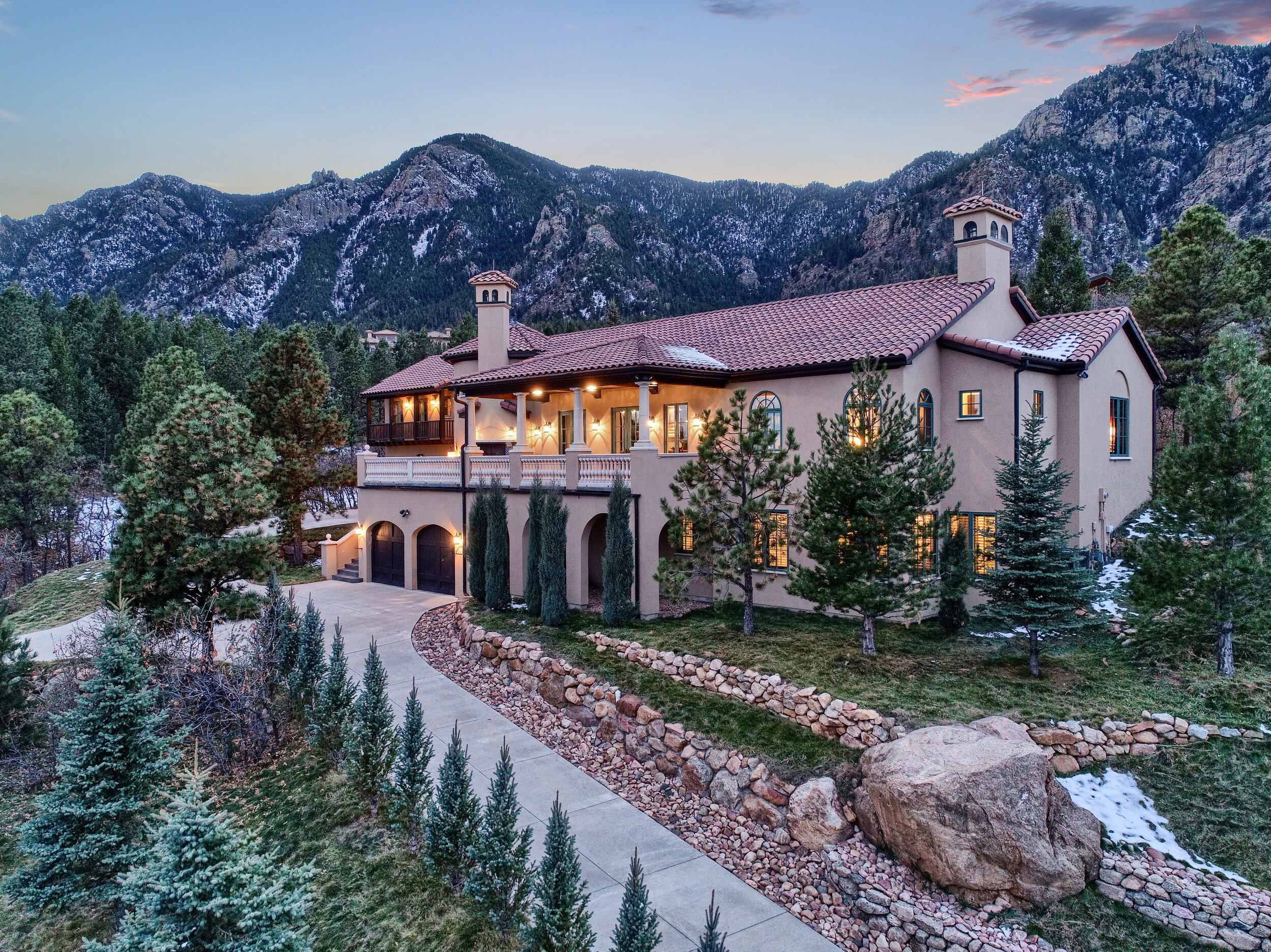
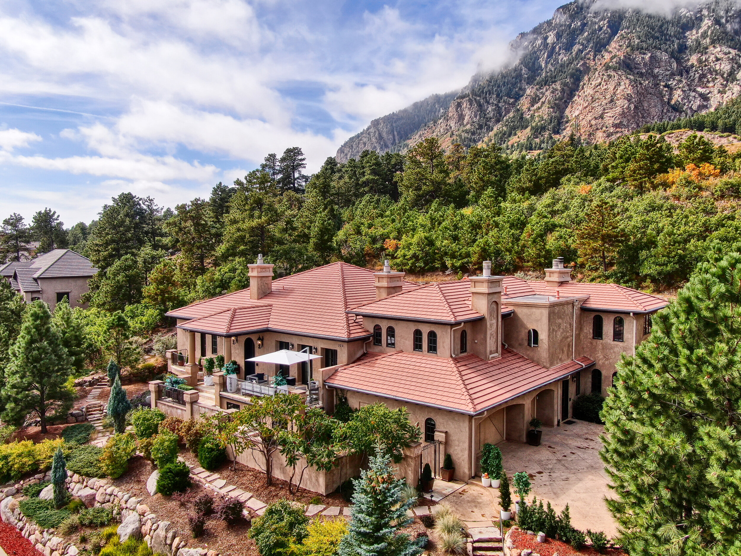
Colorado Springs is one of the top real estate markets in the United States. On average Pixvid provides real estate photographs for 500-600 homes a month across it’s locations and a large number of orders are for aerial photos and video. Pixvid has been offering aerial photography since November 2016, just a few months after the FAA released the Part 107 certificate for SUAS (small unmanned aircraft systems) operators or more commonly referred to as drone pilots. Colorado Springs has one of the more difficult air spaces to navigate in regards to drone usage. With Fort Carson, Colorado Springs Airport, and the United States Air Force Academy each having its own restricted air space, having an experienced team like Pixvid is crucial to being able to get the aerial shots safely and most importantly legally..
““For civilian operations in the United States, the term small unmanned aircraft system (sUAS) is defined as a system consisting of an unmanned aircraft or unmanned aerial vehicle (UAV) weighing less than 55 lb, and equipment necessary for the safe and efficient operation of that aircraft [9], [15].” ”


As of August 2016, the FAA has enabled photographers through the Part 107 Certificate to use drones such as the DJI Phantom 4 for real estate photography purposes. Pixvid is licensed (technically certificated) under Part 107 and insured with a $1,000,000 policy for personal and property liability. With over a thousand flights and homes successfully photographed our drone pilots are proud to be some of the most experienced in the city and all along the front range.
If you ever hired a drone pilot who arrived only to find out that their drone won’t even take off, you’ll know how important it is to hire someone who knows what they’re doing. We check the airspace on every address as soon as we get the order and again before we take off to make sure that we’re in compliance with all the regulations. Some addresses require us to give the proper authorities at least 24 hours notice so please be sure to schedule aerial photos with that in mind.
“Here’s a great tool to use if you ever have questions about whether your listing is an a no-fly zone. Just enter the address and this official FAA website will show what class of airspace the listing is in.”
Do I need to be licensed to fly drones?
Typically it depends on what you’re using the drone for. If you and your kids are just playing around in the backyard with drone - then you are considered a hobbyist. You still need to call in if you are within 5 miles of the airport. However if you are using the drone for any commercial purposes, the answer is yes. You need to have your part 107 certificate. The FAA does encourage everyone to get their Part 107 certificate just for the fact that you’ll learn all the rules about flying in national air space. There’s a little gray area where if you flew as a hobbyist and took some great shots and then down the road happened to sell them even though that wasn’t the intent of the original flight, then you are technically covered. However, it’s just dumb to try and live the gray area, especially where safety is concerned. Get your part 107 or hire a licensed operator.
“If you are using your drone for commercial gain then you must have your Part 107 certificate.”
As always, the best place to start is to go to the FAA website/Become a Drone Pilot to learn more about how to obtain the Part 107 certificate and what steps you need to take to pass your exam.
Homeowner And Privacy Concerns - Are Drones Trespassing On My Property?
Suppose your minding your own business in your backyard. Maybe working on the grill for dinner tonight and all of a sudden a drone flies overhead. It’s kinda loud, in an annoying buzzy sort of way. It hovers for a second, turns, moves about 15 feet and then repeats various flight patterns of your neighbors house. You look out your front window and see a guy with a yellow vest on and an agent putting a sign in your neighbors yard. You would probably feel pretty annoyed at having your dinner disrupted.
Unfortunately, that’s the introduction that most people have to commercial drone operations. As the industry grows, common practice and standards and courtesies evolve. One of the few courtesies that was often overlooked was the privacy of the neighbors and the nearby homeowners. We’ve had a couple of experiences with neighbors who didn’t take too kindly to us flying over their property (despite a respectful distance) and let it be know loudly. All have been resolved peacefully after we’ve landed and explained what we were doing.
The law for now is on the side of the drone pilot. The FAA technically controls the airspace from the grass tips upward and while several states might have state laws on record that regulate a homeowners right to airspace above their home, none have challenged the FAA’s federal right to making the final decision in regards to drones. Well actually there was one case: U.S. Supreme Court case, U.S. v. Causby. Even though that case resulted in a victory for the landowner and their right to airspace above their property, it set in motion a precedent that the “homeowner owns at least as much of the space above the ground as he can occupy or use in connection with the land” while everything above that was navigable airspace and open to public use. This is why a medical helicopter can fly over your home at low altitude in an emergency or an Air Force cadet pilot can make a low pass over Flying Horse Golf Courses but it’s also why a commercial drone pilot can temporarily use the airspace above your home to render a commercial service.
Now here’s where the law flips sides and the drone pilot ends up on the losing end. The law also states that the homeowner or property owner controls take off and landing rights. We might be able to fly over a house but we won’t be able to take off from just any property. Some HOA’s even go as far as prohibiting take off and landing within their entire communities. In those cases, we contact the community manager and try to work with them in regards to setting up a good time to shoot. We also have our information and drone licenses on file with many HOA’s to help facilitate photography shoots and help keep residents updated as to what’s going on.
Quite honestly, this is one of the biggest missed marketing opportunities for real estate agents. When we do an aerial shoot for a home, we tend to fly within a 500 foot radius of the property at the most. Use our flight pattern to let the neighbors know that there will be a drone shoot for real estate purposes. Here’s how a few of our successful agents approach this issue. A few days prior to a drone shoot, they’ll canvas the neighborhood with door hangers and business cards. They’ll knock on each neighbors door and let the know that a drone shoot will be taking place at such and such time. The purpose is to highlight the neighborhood and show off the home and views. It’ll help increase property values in the neighborhood and that it’ll be a professional crew that licensed and insured. Finally, they hand the neighbor a business card to answer an questions or leave a door hanger with the details.
This helps prevent angry neighbors, especially once they realize that this marketing only helps everyone on the street.
For more information and to really get into the case law behind the regulations, please check out this excellent article from Criminal Defense Lawyer: When a Drone Flies Over My House, Is It Trespassing?. It covers the difference between state and federal laws in regards to airspace and drone use and digs into the case law that set the stage for current regulations.
FAA Fines
The FAA has also confirmed that it has an $11,000 fine per violation for a licensed drone pilot to fly in restricted air space. The FAA has further confirmed that if an agent causes a commercial operation to happen by an unlicensed pilot, that pilot will incur an $1,100 fine and the agent will be responsible for the $11,000.
While the list of drone pilots that have actually gotten fines is low, it’s still not worth the risk of having an accident happen and damaging property, or worse getting someone hurt. Here’s an article from Vice about all the drone pilots that have gotten fined by the FAA. It seems to be that the East Coast offices are the ones that are taking a hardline approach against pilots that break the rules but there are cases from all over the country. The majority of fines are for hobbyist pilots and range from a few hundred dollars to around five thousand dollars. Fines for commercial operators are much steeper and can range north of a million dollars depending on the violation.

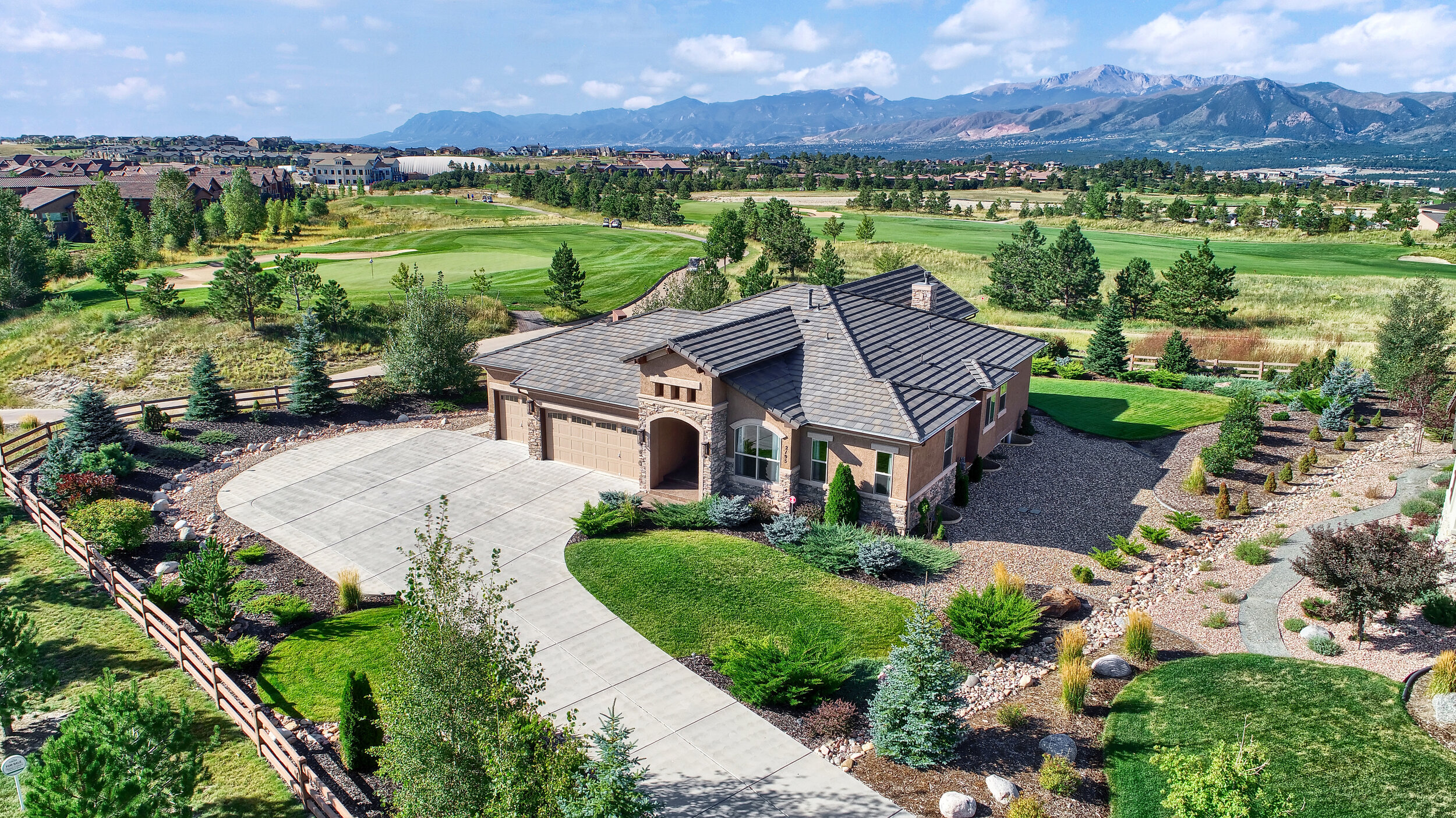
The Farm - Colorado Springs Master Planned Community. Aerial Photo
Getting your nephew to fly a drone for your listing, while cheap, is simply not worth risking your license, a fine, or an accident. Not only that but the photos you’ll get are most likely going to have bad composition, sloppy editing and can actually damage your brand. Let the professionals with a proven track record of thousands of homes flown and photographed handle it the right way.

Certification, Insurance and Wide Area Authorizations

FAA Part 107 Certificate (Drone Pilot License)
The FAA has pushed hard to enable automatic flight authorizations through it’s LAANC Portal System. LAANC providers such as kittyhawk.io have created phone and web apps that help pilots create and file flight plans, update changes and request automatic and manual authorizations for airports that support this system. Eventually, the FAA’s goal is a nationwide adoption to facilitate ease of use and regulation. This had made it much easier to obtain flight authorization at the touch of a button.
“LAANC is the Low Altitude Authorization and Notification Capability, a collaboration between FAA and Industry. It directly supports UAS integration into the airspace.”
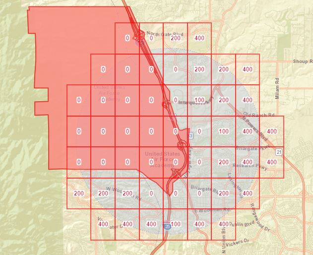
We are happy to provide proof of our Part 107 certificates, insurance and wide area authorizations upon request by potential clients. Pixvid currently holds Wide Area Authorizations for both the Class D airspace in Fort Carson and for the Class D airspace in the United States Air Force Academy. These areas require special authorization procedures and are not LAANC enabled. This means that automatic authorization through your phone is not possible.

Colorado Springs Airport SUAS Airspace Grid- LAANC Active
Wide Area Authorizations

Wide Area Authorization - KAFF | Air Force Academy (USAFA) Colorado Springs, CO

Wide Area Authorization - KFCS | Fort Carson, Colorado Springs, CO
Aerial requests are subject to FAA and ATC authorization. Typically we are able to get same day approval for our flights in restricted areas, however the wide area authorization for the US Air Force Academy airspace (see map) requires 24 hour prior notice prior to flight. All restricted airspace can be seen on the following FAA website: uas.arcgis.com

Temporary Flight Restrictions (TFRs), NOTAMS (Notice to Airmen) and weather may cause flight delays. Examples include VIP visits to the area or aerial demonstration shows (USAFA Graduation). Weather has to meet minimum visibility and wind requirements prior to takeoff. If weather conditions fall below minimums, aerial flights will be rescheduled at no cost to the agent.
Safety…
Last word about safety. Safety is paramount. It will always be our number one priority and safety of pilots or any crew will always take precedence over any shoot. We trust our pilots and will always support their decision to cancel any flight if they feel a safety condition cannot be met.
Please reach out to use with any additional questions or concerns. We’re happy to answer any questions!
Very best,
The Pixvid Team